Recent Projects

Building Information Modeling
Model5D Resource has delivered BIM Services to a company which is a fast-paced technology company and a leader in the world of data centres. The company’s infrastructure consists of various custom built and off-the-shelf applications operating on a variety of platforms including Linux systems, Oracle databases, Cisco networks, and other major technologies.
Project Overview
This
project involved electrical, controls and HV distribution installation works;
mechanical works associated with the site services, shell and core and fit out.
This building consists of Data halls, office area and future expansion.
What we have done
- Modelling of Diesel line Pipes from tank to Pump House and Generators
- Detailing of Humidified water from storage tanks to pump room and data halls and office areas.
- Modeling and updating of Heating and Ventilation in Data Halls
- Preparation of layouts for HVAC and mechanical installations using Revit MEP.
Tools used : Autocad Plant 3d, Navis Work and Revit
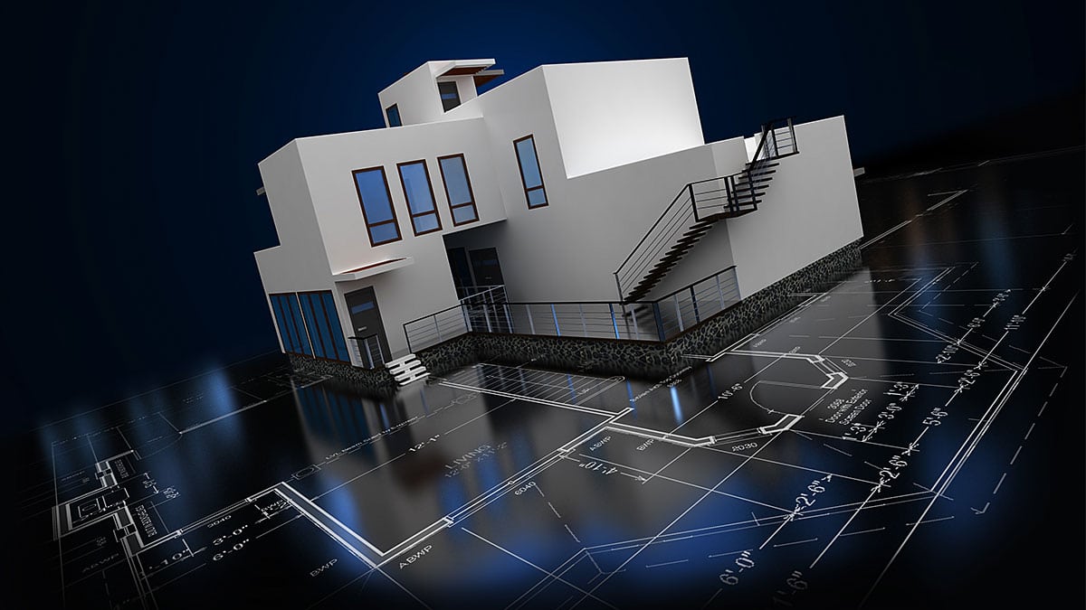
Building Services Engineering
Model5D Resource has provided Building Engineering Services to an Engineering company to renovate the Detached House. This House has Kitchen, Meeting Room, Lobby, Hall, Sitting Room and Boiler House in ground floor and two Ensuite bed rooms and one bed room with common Toilet, and Study and office in first floor.
Project Overview
This Project includes Designing and Drafting of all Mechanical Services, Heating (Solar and Hot water) Ventilation, water Services (rain Harvesting water for WCs) and Soils and waste.
What we have done
- Designing of Mechanical Service Like Heating, Ventilation, water services and Soils and waste and Boiler Schematics
- Drafting all service according to building Regulations.
- Preparation of Builder Work Documents
- Tender Document Specifications.
Tools used : AutoCAD, DEAP, HEVACOMP
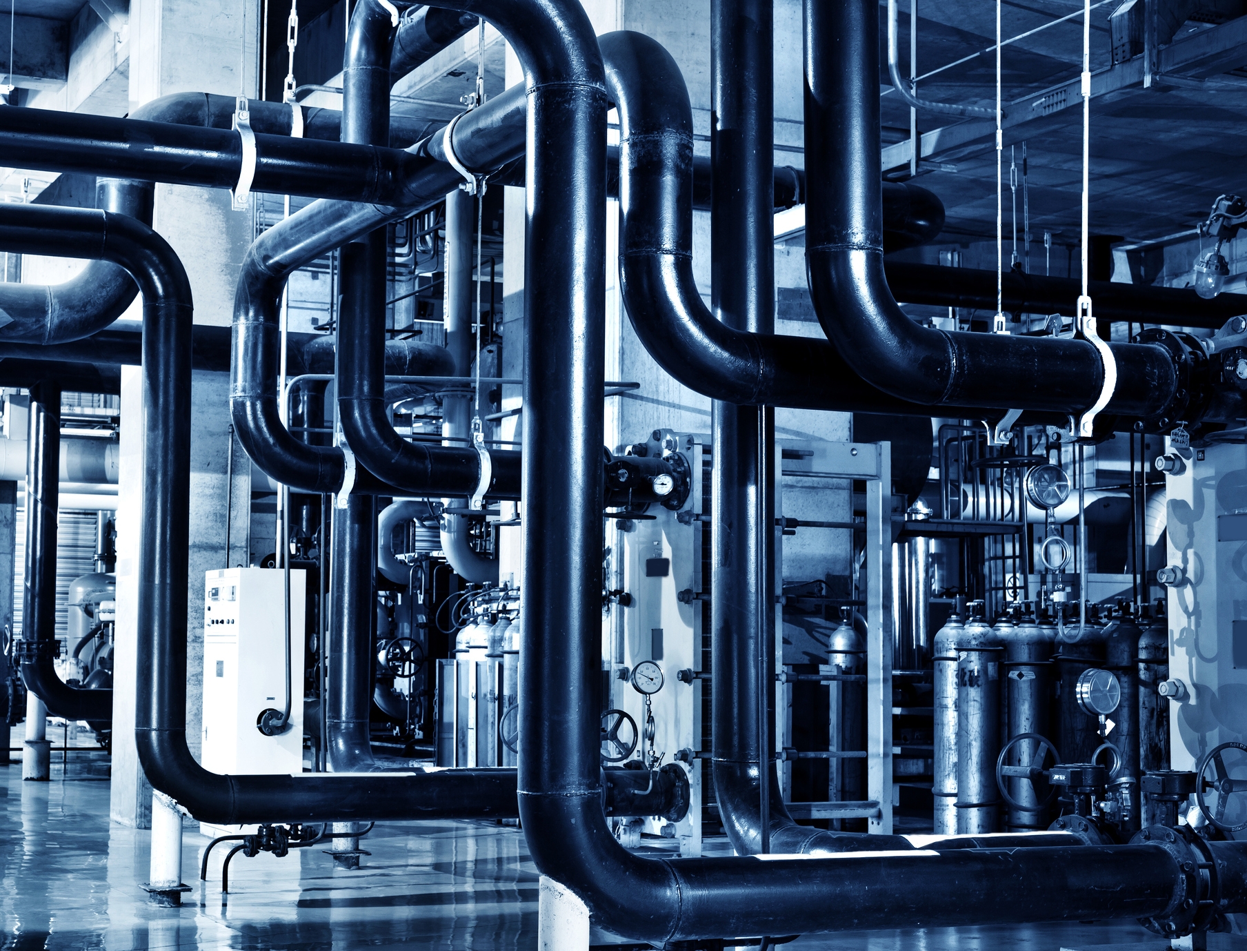
Piping and Plant Engineering Services
Model5D Resource has provided Piping and Plant Engineering Services to a company for their Waster Water Sludge Treatment plant. The sludge that is produced and collected during the primary and secondary treatment processes requires concentration and thickening to enable further processing.
Project Overview
Project’s objective is to put into thickening tanks that allow it to settle down and later separates from the water. This process can take up to 24 hours. The remaining water is collected and sent back to the huge aeration tanks for further treatment. The sludge then pumped to Biofilter treatment plant. Biofilters contain filter medium grains (e.g., sand, granular activated carbon) that are covered with biofilms. The biofilm activities break down nutrients (e.g., nitrogen and phosphorous-containing compounds) and organic carbon as well as capture other unwanted contaminants in the influent water. Water coming out of a biofilter typically undergoes disinfection prior to entering drinking water distribution pipes or being released to the environment as wastewater effluent. The sludge is then treated and sent back into the environment and can be used for agricultural use.
What we have done
- Designing and modelling Pumps, blowers, Sump drains, Bio filter chambers
- Modelling of raw sludge piping in this treatment plant
- Producing layout drawings for construction
Tools used : AutoCAD Plant 3D,Navis Works, Autodesk Design Review
CAD Drafting Services
Model5D Resource has provided 2D drafting services to Utility based company for their GAS data conversion from paper to digital format.
Project Overview
This is an utility based P&ID project. utility Gas Distribution Company have information in 1”=100’ paper maps & other sources like field survey books and work orders. Company has proper Guidelines and Specifications to convert all the gas features using 100’ source(i.e 100’ Plat TIFF images) and other forms of source (field books, work orders)
What we have done
- we converted all the gas features using 100’ source drawings
- Producing layout drawings
- This layouts contains full information of Dimension & Gas facility features.
Tools used : AutoCAD, Microstation

Geospatial
Model5D Resource has involved to provide street navigation to company deals with the development of Navigational equipment. The project is a part of their effort to integrate road navigation into a seamless cartographic database. Converting the paper navigational charts into digital and generates database in GPS complaint format. The process involves integrating several charts of different Regions in logical sequence into a seamless database after performing cosmetic editing.
Project Overview
The project aims at capturing of road data from ortho rectified aerial photographs and linking of database. In the initial stage the different categories of roads and bridges were captured from ortho rectified aerial Photographs using AUTOCAD software. After correcting any topological errors the design file was exported to feature class of shape files in ArcGIS software wherein the spatial data was checked entity wise for similarity with the provided County data in various aspects of its Direction, Topology and Database. Hence the database linked spatial data along with the segregated layers were sent to the client in .shp (Shape files) format.
What we have done
- Digitization of all roads using Aerial Photographs
- Repositioning this digital work to GPS Coordinates
- Linking the data to database
- Spatial data checked with County data
Tools used : AutoCAD, ArcGIS , MapInfo and Companies Customised software